

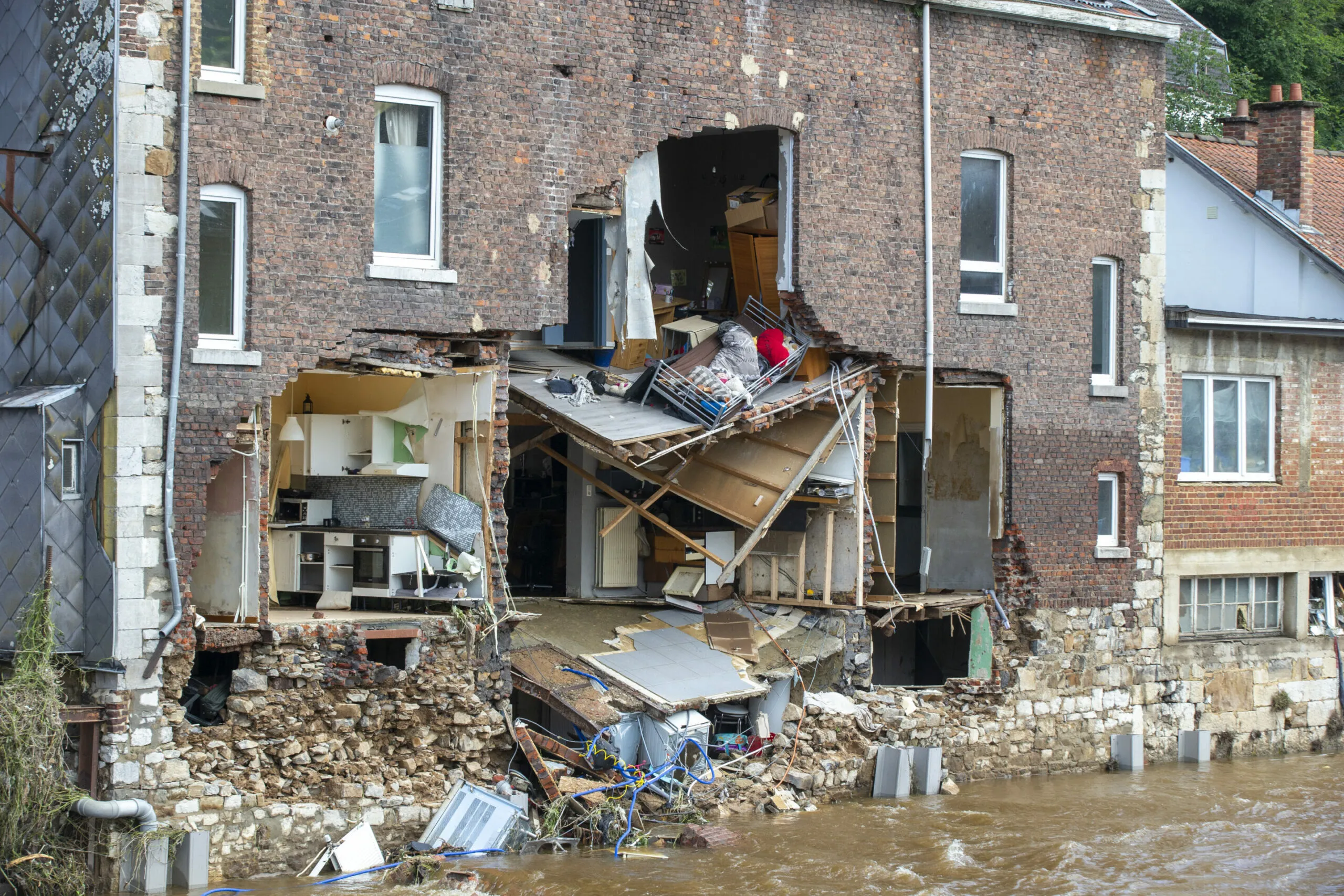
A new interactive map has revealed that almost one in three residents in the Brussels-Capital Region could face basement flooding during periods of heavy rainfall. The tool, launched by Brussels Environment on November 2, allows people to check flood risks around individual properties and learn how to protect their homes.
The updated map provides detailed information about areas that may be affected by heavy rain and water accumulation. Residents can zoom in on specific streets and properties to see whether their homes are located in areas with a higher risk. The tool also offers practical advice on steps that can reduce the chance of water entering buildings.
Lower parts of Brussels are among the areas that face greater exposure. The Senne, Molenbeek, Maalbeek and Woluwe valleys are particularly vulnerable because of their geography. However, the risk is not limited to these locations. Other neighbourhoods can also experience water accumulation when intense rainfall places pressure on local drainage systems.
One major concern is the possibility of sewage systems becoming overloaded. When heavy rain exceeds the capacity of drainage networks, wastewater can flow back into basements. Brussels Environment estimates that almost one in three residents could be affected by this type of flooding during severe rain or thunderstorms.
The risk can become greater during exceptional weather events. The agency estimates that rainfall with a statistical probability of occurring once every 1,000 years could expose around one in five residents to flooding. For an event expected once every 100 years, the estimated share is about one in 12 residents.
Officials say residents do not always need expensive construction work to reduce the risk. Simple measures can help protect homes. These include placing sandbags near basement windows, installing flood barriers and raising the threshold at the top of a garage ramp. Such steps can limit the amount of water entering a property during heavy rainfall.
Brussels is also working on larger projects to improve water management. The regional government is removing paved surfaces where possible so that rainwater can enter the ground instead of flowing directly into drainage systems. New construction projects are also required to disconnect rainwater from sewage networks.
Water utility Vivaqua is building a stormwater retention basin in Watermael-Boitsfort. It already manages 33 retention basins across the region and is expected to take responsibility for five more facilities.
The new map is intended to help residents understand local risks and prepare before severe weather arrives. Officials say better information, practical home protection and improved infrastructure will all play a role in making Brussels more resilient to heavy rainfall and climate-related challenges.

